Birds in Harmony
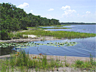
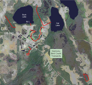
With hundreds of native birds and many more that migrate through, Florida is a bird-lover’s paradise! By conducting annual bird surveys, The Town of Harmony engages its residents in learning more about local wildlife and their environment. On a designated day each December, an inventory of birds is taken and the results are posted in a statewide database maintained by the University of Florida. These surveys are valuable for observing long-term trends in species and number of birds seen in Harmony and across the state. The transect surveys conducted are snapshots of what was observed at a particular time and are influenced by a number of variables, some of which might be regional or national in origin. Therefore, comparing the results of one year with another may not provide an accurate assessment of changes in species and numbers. However, trends over several years can sometimes be detected, which would provide an alert to real changes in bird populations. There are two types of bird surveys recorded on the Bird Monitoring site; transect and point count. Transect surveys are used for the December bird counts at Harmony. Transects rely on observing birds while traveling a route through the habitat being surveyed as opposed to point counts, in which the observer remains in one spot. Six transect sites have been used for the December bird count at Harmony each year, so the data is specific to each year's counts. The transects in Harmony are named TOARES-__. "T" stands for Transect, "OA" stands for the first and last letters in Osceola County, and "RES" stands for Residential. The last two letters after the hyphen are abbreviations for the transect site names. Here is a list of the transect sites in Harmony: BL1: This area includes the mixed hardwood lake edge at the dock access to Buck Lake and is usually surveyed during late afternoon/dusk. BT1: The Butterfly Trail has pools of water on either side with areas of heavy emergent vegetation. Beyond that edge, mixed hardwood wetlands extend to U.S. 192 to the west and Buck Lake to the east. This area is surveyed during late afternoon. CL1: This transect includes the trail to Cat Lake and picks up the Cat Lake shoreline. It also follows Billy's Trail which features heavy mixed wetland hardwoods. EM1: East Maple is on the east end of Harmony and includes a portion of the natural gas pipeline which runs through cypress swamp and follows around a wooded wetland through a grove of red maples. It is surveyed during early afternoon. GP1: This transect through the Harmony Golf Preserve begins by the 7th tee boxes and follows the cart paths to the 15th tee boxes. Adjacent areas include mixed hardwood swamp and the Harmony town center. This is usually the first area surveyed shortly after daybreak. SP1: The South 192 area includes lands south of the wastewater treatment plant and consists of low pine and oak scrub as well as the grassy areas of the gopher tortoise preserve. This area is surveyed in mid afternoon.
(Click on the image above to see a larger version of the transect map.) Below is a list some of the birds that you might encounter at Harmony.
|
|||
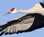 |
Sandhill
crane Grus canadensis |
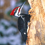
|
Pileated
woodpecker Dryocopus pileatus |
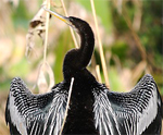 |
Anhinga |
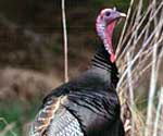 |
Wild
turkey Meleagris gallopavo |
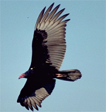 |
Turkey Vulture Cathartes aura |
|
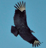
Black Vulture Coragyps atratus |
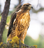 |
Red-tailed
hawk Buteo jamaicensis |
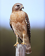 |
Red-shouldered hawk Buteo lineatus |
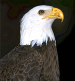 |
Bald Eagle Haliaeetus leucocephalus |
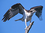 |
Osprey Pandion haliaetus |
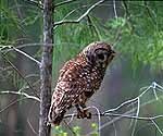 |
Barred
owl Strix varia |
|
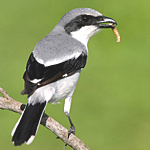
Loggerhead
shrike Lanius ludovicianus |
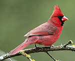 |
Northern
Cardinal Cardinalis cardinalis |
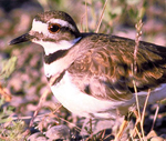 |
Killdeer |
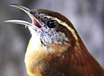 |
Carolina
wren Thryothorus ludovicianus |
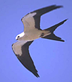 |
Swallowtail
kite Elanoides forficatus |
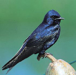 |
Purple
martin Progne subis |
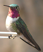 |
Ruby-throated
hummingbird Archilochus colubris |

